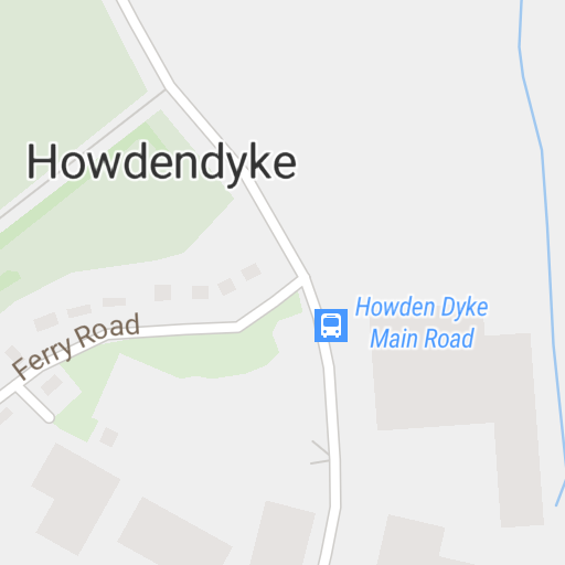
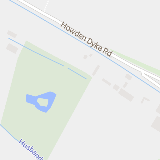
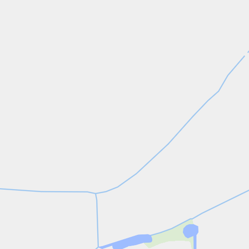
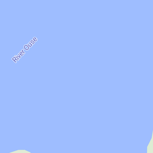
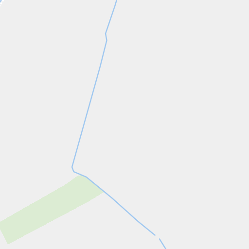
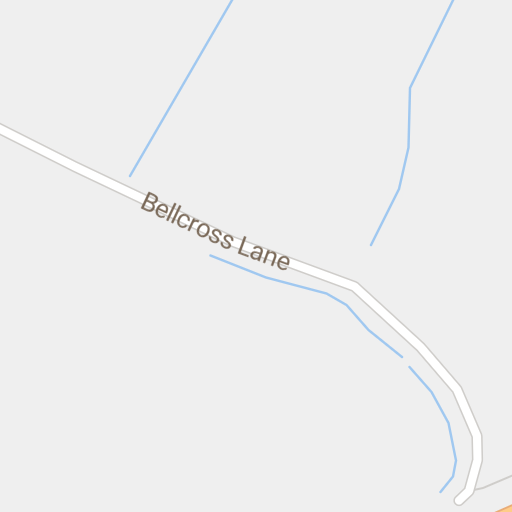
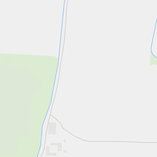
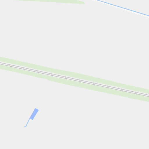
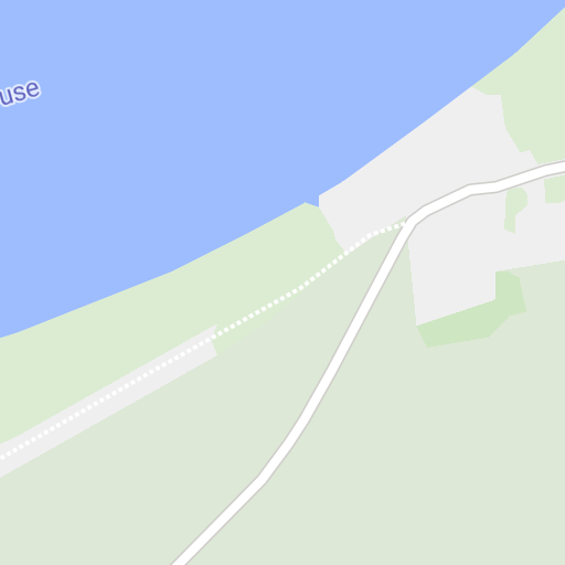
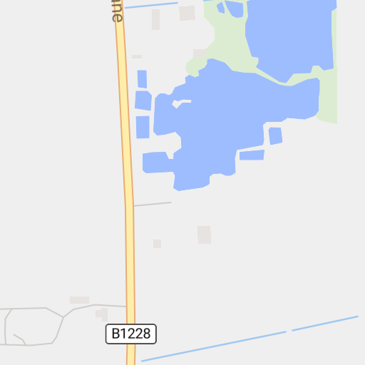
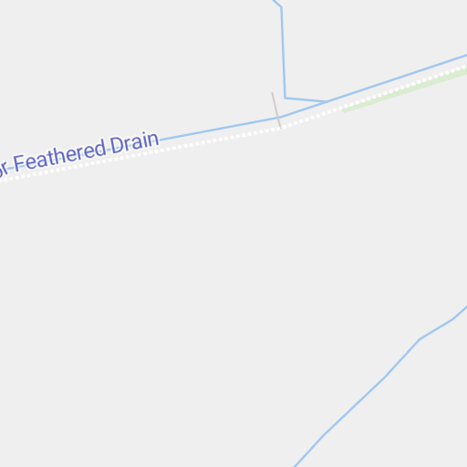
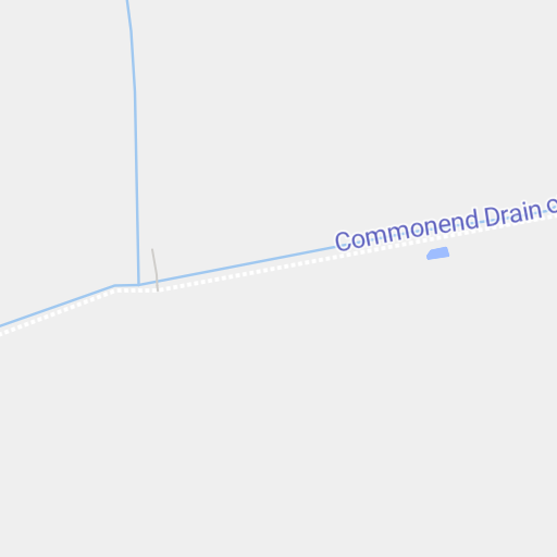
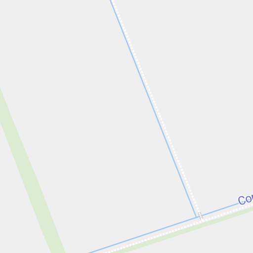
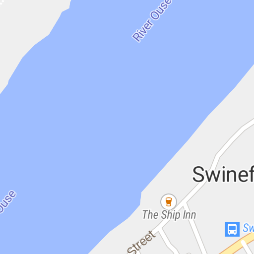
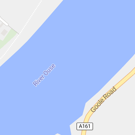
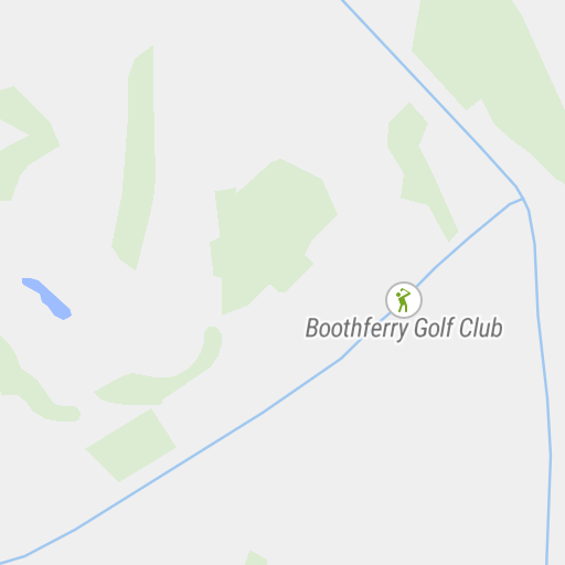
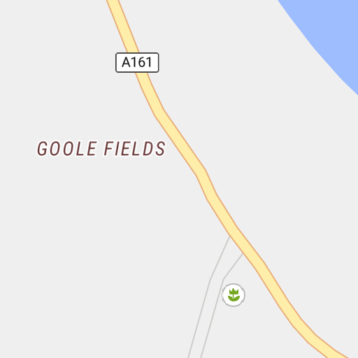
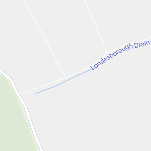
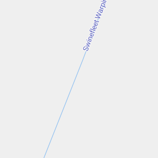
Geo Coordinates: 53.7339848°, -0.8487285°
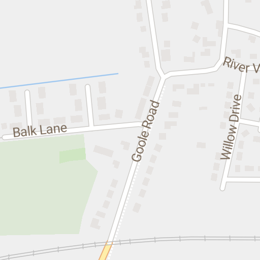
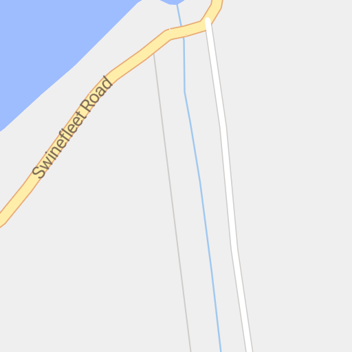
Ferry Road, Kilpin, Howdendyke, East Riding of Yorkshire, Yorkshire and the Humber, England, DN14 7UP, UK
Openstreetmap Node 5243587138 im Node Explorer öffnen